Skip to content

Vertical #1 · GPS-denied navigation

Navigation where GPS cannot reach.

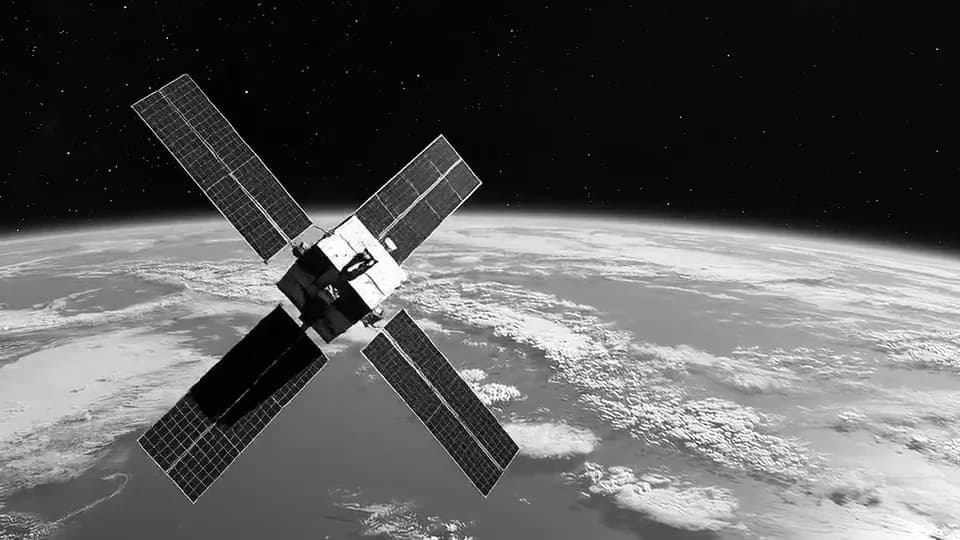
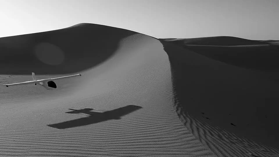
Satellite navigation is jammed, spoofed and denied across contested airspace, deep oceans and orbit. A passive magnetic reference that emits nothing and cannot be switched off closes the gap. It is the vertical we ship first.

The domain

When satellites go dark, inertial systems drift.

Most vehicles fall back on inertial navigation when GPS is lost. Inertial systems accumulate error the moment the signal drops, and the drift only grows with time.

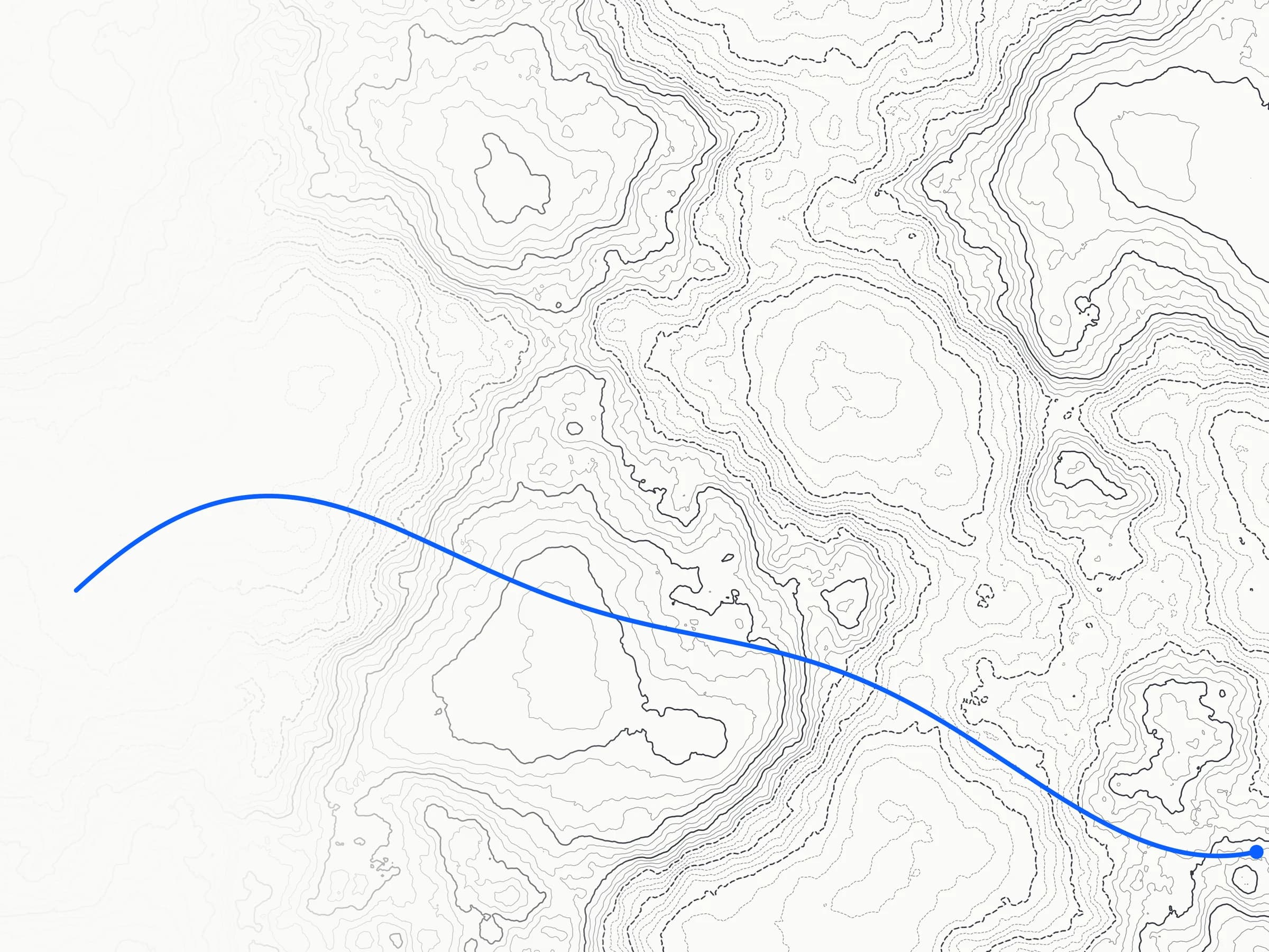
Magnetic navigation offers a different reference. The Earth's crust has a fixed magnetic signature that varies from place to place, a map that no adversary can switch off. A sensitive magnetometer reads the local field and matches it against that map to fix position and heading. Because it only listens, it emits nothing, so there is nothing to detect, jam or spoof.

Why NV-diamond

A magnetometer built for the vehicle, not the lab.

Room temperature

No cryogenics and no shielded room, so it runs field-ready where SQUIDs and cold atoms cannot go.

Passive and silent

It reads the ambient field and radiates no RF. Nothing to detect, nothing to jam, nothing to spoof.

Vector and solid-state

A single solid-state core holds coherence under shock and motion, on drones, hulls and launch loads.

Radiation-hard

Diamond is intrinsically radiation-tolerant, which keeps the sensor working in orbit and on re-entry.

Our approach

We measure, where others compensate.

Every magnetometer flying today is a lab instrument strapped onto a vehicle, corrected by external compensation models dating back to 1953. We take the opposite path: a sensing architecture that identifies and removes the vehicle's own magnetic noise on board, in real time, so the measurement stays true under way. The cleaned reading is matched to a magnetic map to hold heading and correct inertial drift, continuously, with no satellites in the loop.

See it fly

The sensor already flies. In software.

Before the first device is built, an end-to-end navigation digital twin flies the mission: a synthetic magnetic map, a vehicle with its own interference, the full sensor model and the navigation filter. Every figure is honestly labelled model-derived. The public layer runs live in your browser.

Fly the Instrument

Questions

The basics, answered.

What is GPS-denied navigation?

GPS-denied navigation is positioning and heading without satellite signals, in places where GPS is jammed, spoofed or physically unavailable such as contested airspace, underwater and orbit. It relies on references a vehicle carries or senses locally, such as inertial systems and magnetic-field maps, rather than on an external signal.

How does magnetic navigation (MagNav) work?

The Earth's crustal magnetic field forms a fixed spatial pattern. A sensitive magnetometer measures the local field and matches it against a stored magnetic map to estimate position and heading, and to correct the drift of an inertial system. Because the sensor only listens, the method is passive and cannot be jammed.

Why use NV-diamond rather than other magnetometers?

Nitrogen-vacancy (NV) centres in diamond sense magnetic fields at room temperature, with no cryogenics or shielding, in a small solid-state package that survives vibration and radiation. That ruggedness is what lets a quantum-grade magnetometer leave the laboratory and ride on a vehicle.

Can a magnetic navigation sensor be jammed or detected?

No. The sensor is passive: it reads the ambient magnetic field and emits no radio-frequency energy. There is no signal to jam or spoof, and nothing to detect, which is the core advantage over satellite navigation in contested environments.

Positioning where conventional technology stops?

We work with partners who need resilient navigation in contested air, sea and space. Tell us about the environment you operate in.

Get in touch